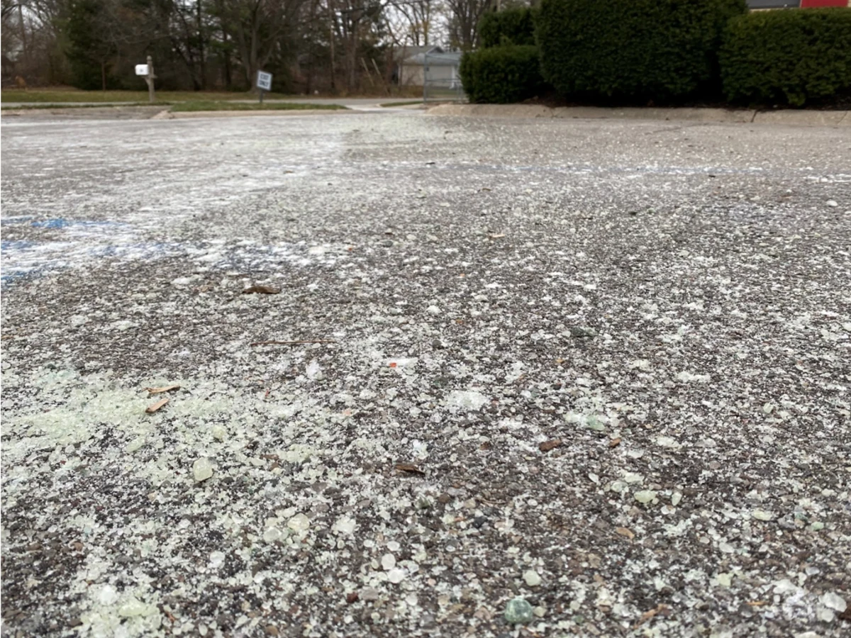
The quick answer · Water first, then freezing
A rapid temperature drop can freeze water already on the pavement
The NWS explains that wet roads can quickly turn icy at night or when colder air arrives behind a front. New precipitation is not required: rain, melted snow, spray, or runoff can remain after the sky brightens.
Air temperature is useful, but pavement does not cool uniformly. Bridges, ramps, shaded stretches, untreated lanes, and areas with poor drainage can freeze at different times. A forecast low of 31°F does not mean every road becomes icy, and a nearby reading of 33°F does not prove every pavement surface is above freezing.
Related words · Different questions
Flash freeze, freezing rain, black ice, and snow squall are not interchangeable
- Flash freeze
- A rapid change in which water already on a road or walkway freezes as temperatures fall.
- Freezing rain or drizzle
- Liquid precipitation freezes on contact with a cold surface and can create a glaze while it is falling.
- Black ice
- A thin, difficult-to-see coating that lets the darker pavement show through. The term describes appearance, not the weather process that formed it.
- Snow squall
- A short, intense burst of snow and gusty wind that can sharply reduce visibility and may also produce a flash freeze.
One trip can encounter more than one of these hazards, but none should be inferred from the others. Read the hourly forecast and alert text instead of relying on a single icon or the word “winter.”
Current product note · A retired map layer
Do not wait for a “Flash Freeze” component on the national WSSI
In a 2025 service-change notice, the NWS removed the Flash Freeze component from the Winter Storm Severity Index because of challenges with a standard definition and verification. The notice also reiterates that WSSI does not depict official warnings and must be used with official forecasts and warnings.
Some older local pages or screenshots may still show that former layer. Its absence on the current national WSSI is not an all-clear and does not replace the temperature trend, recent precipitation, local road reports, or active alerts.
Different products · Different decisions
An outlook, forecast, watch, advisory, and warning do different jobs
- Outlook
- Highlights broader future hazard potential. It is an early planning signal, not a road forecast or an active warning.
- Forecast
- Gives expected precipitation, temperature, wind, and timing for a point or area. Use the hourly temperature trend and the period after rain or melting snow.
- Winter Storm Watch
- Significant winter weather is possible, but important details remain uncertain. Prepare, review routes, and keep checking.
- Winter Weather Advisory
- Wintry conditions are expected to cause significant inconvenience and may be hazardous. Read the full local product and adjust travel.
- Winter Storm or Ice Storm Warning
- Significant snow, sleet, or ice is expected or occurring. Follow the warning's area, timing, impacts, and action statement.
“Flash freeze” can appear as a hazard description in a forecast, discussion, statement, or winter alert. The phrase alone does not mean a watch or warning is active. The current NWS national winter alert page does not list a general product named “Flash Freeze Warning,” so do not wait for that exact headline before slowing down or changing plans.
A two-minute check · Before the drive
Look for the wet-to-freezing transition along the whole route
- Check what made the road wet. Note recent rain, snowmelt, slush, spray, or runoff—even if precipitation has ended.
- Open the hourly forecast. Find when the temperature is expected to approach or fall below freezing, especially behind a front or after sunset.
- Check every part of the route. A clear departure point does not describe a colder bridge, valley, hill, or destination.
- Read alerts and road information separately. Weather alerts describe atmospheric hazards; official transportation reports describe closures, treatment, and observed road conditions.
- Leave an exit. Delay the trip if official guidance advises it, and avoid a schedule that forces you to drive through the expected changeover.
If the road may be icing · Smooth inputs
Slow down, leave more distance, and turn off cruise control
NWS flash-freeze guidance says to slow down, avoid cruise control, and leave plenty of distance between vehicles. Do those things before the first obvious skid: a wet-looking surface can already be slick, and stopping distance can change abruptly from one road segment to the next.
- Reduce speed gradually and avoid hard braking, abrupt steering, and rapid acceleration.
- Give bridges, ramps, shaded curves, and untreated surfaces extra space.
- If the vehicle begins to skid, remain calm, ease off the accelerator, and steer in the direction you want the front of the vehicle to go.
- Do not stop in a travel lane to test the pavement or inspect a shiny patch.
- Follow closures and local public-safety instructions even if your immediate location looks only wet.
Primary sources · Reviewed November 22, 2026
Official information used for this guide
- National Weather Service: flash freeze and other “sneaky” winter hazards ↗
- National Weather Service: prepare before winter travel ↗
- National Weather Service: driving and skid actions during winter weather ↗
- National Weather Service: winter warnings, watches, and advisories ↗
- National Weather Service: WSSI 2025 service-change notice ↗
- U.S. Geological Survey: deicing-salt photograph, credit, and public-domain status ↗
- U.S. Geological Survey: copyrights and credits policy ↗
Source facts, product status, photo rights, and duplicate checks were reviewed at 3:25 p.m. EST Sunday, November 22, 2026. This is an evergreen planning guide, not a current road report, forecast, advisory, watch, warning, or emergency instruction.
Americans already fund these official public-weather resources. MyUSA.us connects them to a clear planning path without subscriptions, advertising clutter, affiliate links, product promotions, or unnecessary tracking.
Page reviewed: November 22, 2026